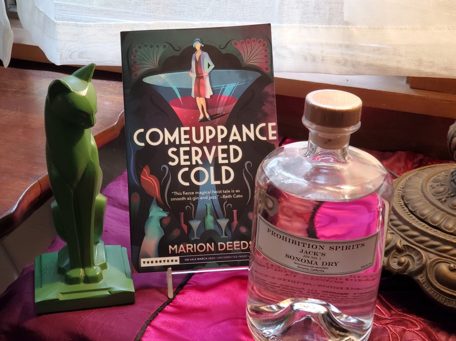
Writing friend J.C. Ross lent me the Josip Nokakovich book Writing Fiction Step by Step. Nokakovich’s book has fourteen chapters; each chapter is a element of story, like Character, Plot, Point of View and so on. Nokakovich won the Man Booker prize for short stories, and has written a couple of books about writing.
In this one, Setting gets two entire chapters; one for exterior settings and one for interiors. Most exercises in the chapter on Exteriors involve field trips, as they should; sit on a bench in a city and observe; walk through a forest; take a trip over water. My favorite suggested exercise was to study your hometown, or any town, from an airplane and describe it.
I remember flying into Oakland airport once at night, coming in over San Francisco. I had a window seat, and it was the rarity of a clear night. I could not have mapped or outlined the city for you, but it looked like an undersea treasure of gems; sparkling loops and strings of lights; silver, white, blue, green, red, orange against velvety blackness. As the plane came in lower I watched the pulsing arteries of red and white light; traffic on city streets. It was memorable.
You don’t have to rent a plane to do this exercise, though, not with Google Earth and Google Maps, which show satellite footage. If you’re old school, you could use a paper map or an aerial photograph.
You can also draw your own map; a hobby of fantasy writers everywhere. Fantasy readers, particularly those who love long, multi-volume epics, also love to look at maps. If you’re inventing a city instead of borrowing one and changing the name, this is a worthwhile exercise.
(A little research is good too, just generally. I once set aside an urban fantasy book I’d been reading, and enjoying, because the author had his character head north out of San Francisco and stop at the toll booths on the Golden Gate Bridge to pay the toll. There is no northbound toll on the GGB.)
I’m intrigued by the idea of an aerial view of my home town. The town’s main north-south traffic is on two one-day streets. A new development in the eastern corner of town, hugging the laguna, has opened up the use of a set of thoroughfares. Between Main Street, which runs south, and Petaluma Avenue, which runs north and is one block east of Main, a series of streets connect the two like frets on a guitar neck. Several of these narrow lanes continue east past Petaluma Avenue, ending on the wetlands area served by the Laguna. You are three blocks from our bustling downtown (and we do have one, and it does bustle sometimes) and you overlook grass, marshland and oak trees; seeing herons, the occasional fox, and, far more frequently, raccoons.
I’m interested in the way the southern approach makes the transition from farm houses and odd businesses like equipment rentals, BBQ joints and palm readers to industrial-commercial – body-shops and warehouses; then plops you with no ceremony into a retail commercial sector. I like the way the laguna shapes the town’s eastern boundary.
I’m curious about the 1960s-era neighborhoods tucked into the hillside on the north side, across the street from the Safeway store, the title companies, the gas stations. The Joe Rodota Walking Trail traces its way through the town, and takes you through these neighborhoods.
This looks like a fun exercise. For me, a smaller town is easier to deal with, to figure out, and to study infrastructure. Sometime in the next few months, I’m going to do this exercise.
Can I attach a plot to it? Maye an intrepid, rebellious graffiti artist, who prowls the city in the pre-dawn hours, stumbles across something she’s not supposed to see, and the chase is on.
